UN
1 Elmbank
£ 550,000
Description
We don't have a Description for this property.
- Bedrooms
- 4
- Bathrooms
- 0
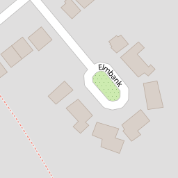


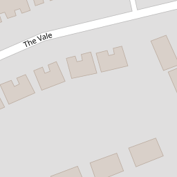
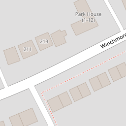

Leaflet © OpenStreetMap contributors
The heatmap indicates the level of crime in the area. The color of the heatmap indicates the crime severity and recency.
Metrics Year-on-Year
- Average area value
- 468,742.00 £Increased by 1.83 %
- Average area rental value
- 1,750.00 £/moIncreased by 3.12 %
- Est rental Yield
- 4.48 %Increased by 1.36 %
- Crime Rate
- 5.00 %Unchanged by 0.00 %
from 460,334.00 £
from 1,697.00 £/mo
from 4.42 %
from 5.00 %
Nearby Schools
| Name | Type | Ofsted | Distance |
|---|---|---|---|
| Eversley Primary School | Community School | Outstanding | 0.63 KM |
| North London Hospital School | Other Independent School | Outstanding | 0.74 KM |
| West Grove Primary | Community School | Good | 1.14 KM |
| Wolfson Hillel Primary School | Academy Converter | 1.33 KM | |
| Grange Park Primary School | Academy Converter | 1.33 KM |
Images
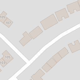
Nearby Streets
| Name | Average Price | Average Sqft | Distance |
|---|---|---|---|
| Springbank | £ 389,995 | 0 | 0.00 KM |
| Wynsmere Court | £ 0 | 0 | 0.00 KM |
| Tarn Bank | £ 785,000 | 0 | 0.00 KM |
| Meadway | £ 1,550,000 | 0 | 0.00 KM |
| St George's Road | £ 575,000 | 0 | 0.00 KM |
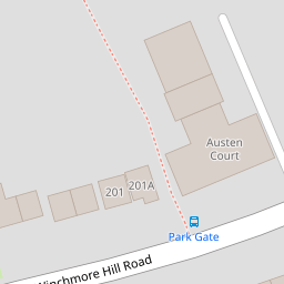
Nearby Transport
| Name | NLC | TLC | Distance |
|---|---|---|---|
| Winchmore Hill | 6024 | WIH | 1.69 KM |
| Grange Park | 6029 | GPK | 2.08 KM |
| Palmers Green | 6021 | PAL | 2.26 KM |
| Enfield Chase | 6010 | ENC | 3.24 KM |
| Bowes Park | 6027 | BOP | 3.49 KM |
Nearby Listings
| Address | Price | Type | Score | Distance |
|---|---|---|---|---|
| Elmbank, London | £ 1,000,000 | BUY | 8 / 10 | 0.04 KM |
| Winchmore Hill Road, London, N21 | £ 149,500 | BUY | 5 / 10 | 0.10 KM |
| Winchmore Hill Road, Winchmore Hill, N21 | £ 250,000 | BUY | Unknown | 0.11 KM |
| Winchmore Hill Road, London, N21 | £ 320,000 | BUY | Unknown | 0.11 KM |
| Austen Court, Winchmore Hill Road, London N21 | £ 250,000 | BUY | 7 / 10 | 0.11 KM |
Nearby Properties
| Address | Price | Distance |
|---|---|---|
| 1 Elmbank | £ 550,000 | 0.00 KM |
| 7 Elmbank | £ 960,000 | 0.00 KM |
| 8 Elmbank | £ 850,000 | 0.02 KM |
| 114 The Vale | £ 125,000 | 0.09 KM |
| 124 The Vale | £ 680,000 | 0.09 KM |